
3D Digital Twins & City Models
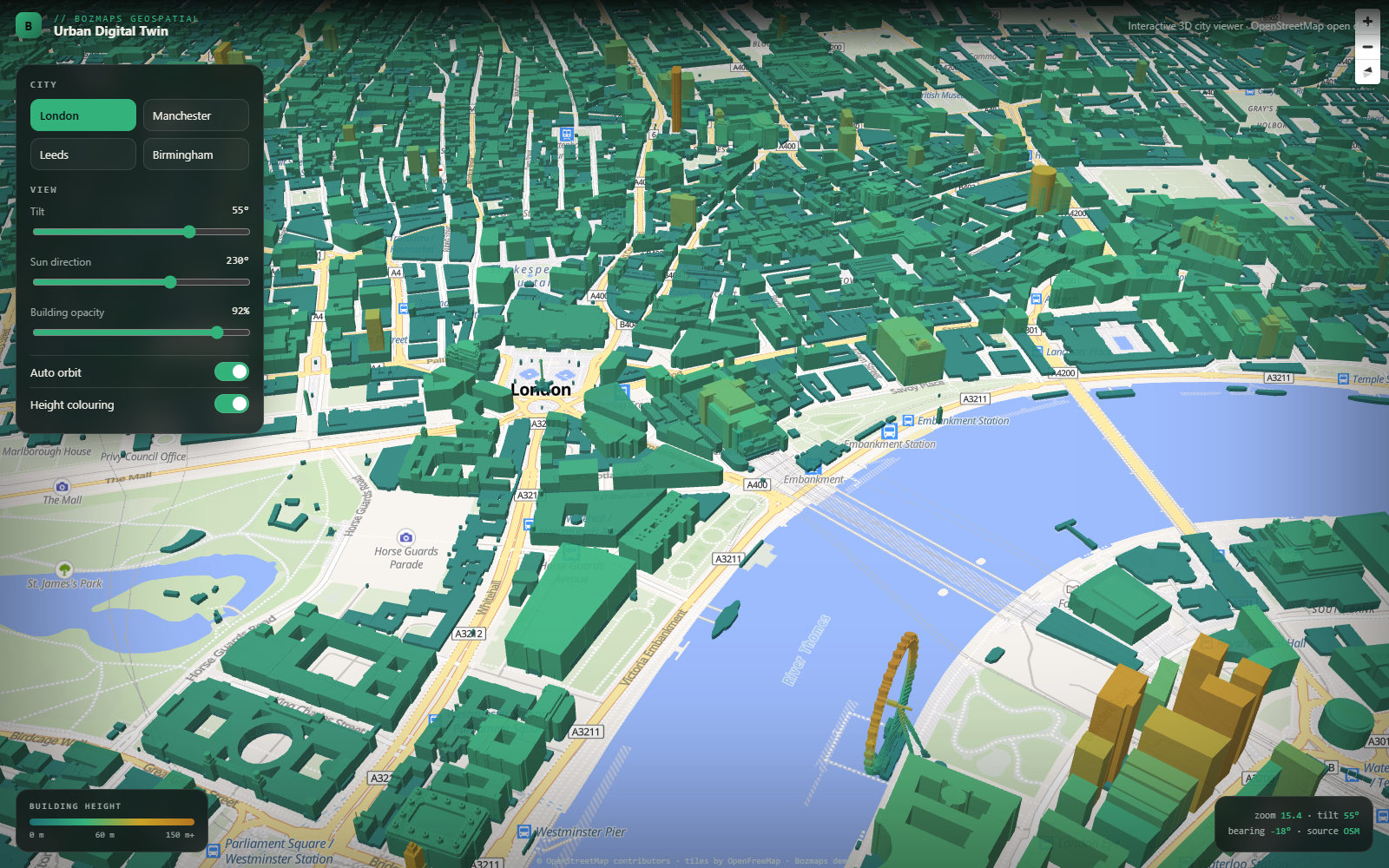
A digital twin is a working 3D model of a real place, in the browser, with your own data on top. We build them from OpenStreetMap and Ordnance Survey building footprints, LiDAR and terrain data, and your own site boundaries, allocations or asset records. Real extruded buildings, height-coloured massing, terrain, sun and shadow studies, and layers a committee or a resident can toggle without training. No desktop GIS licence, no login wall, no plugin: it opens on a laptop, a tablet or a phone.
Good for…
- Local authority planning and regeneration teams
- Urban design and masterplanning consultancies
- Developers presenting a scheme to a committee or the public
- Universities and research groups working on the built environment
What you'll get
- A browser-based 3D model of your town or city, no software to install
- Real buildings from OpenStreetMap, OS OpenData and LiDAR, with proper terrain
- Your own layers on top: sites, allocations, boundaries, constraints, assets
- Sun and shadow studies, height and massing colouring, tilt and orbit views
- Public-facing consultation mode alongside an internal team view
- WCAG 2.2 AA accessibility, hosted and maintained by us if you want it
Shipped examples
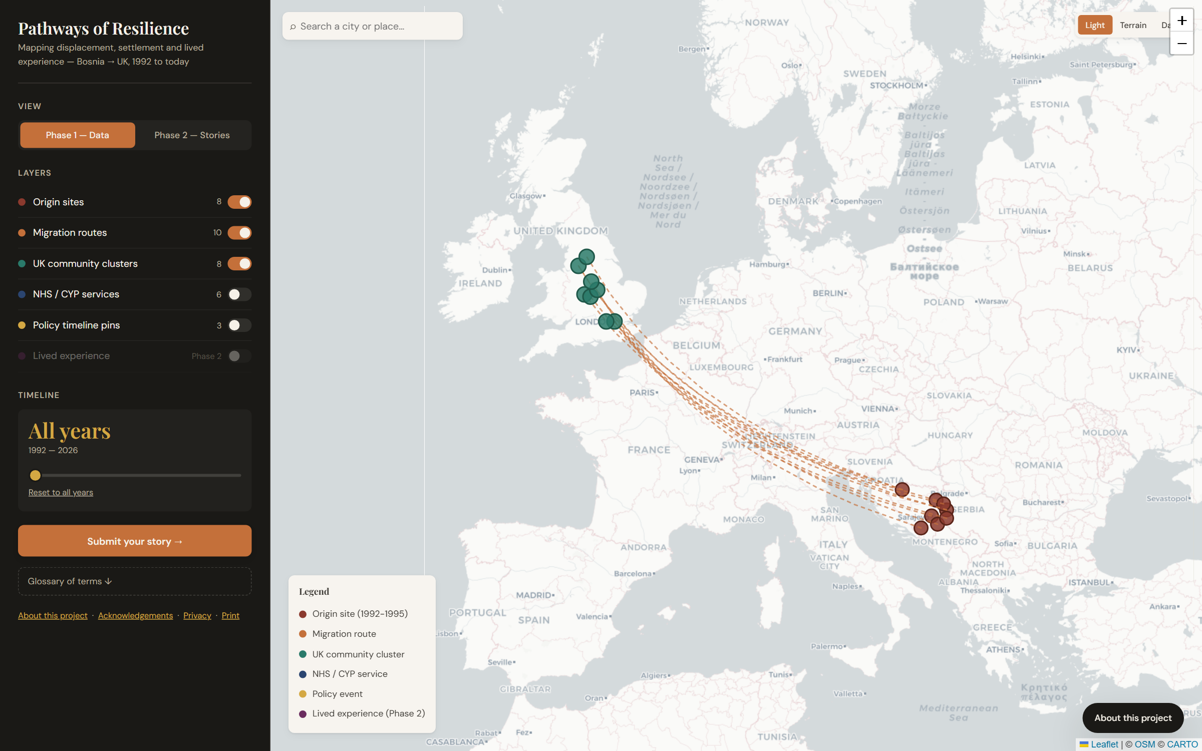
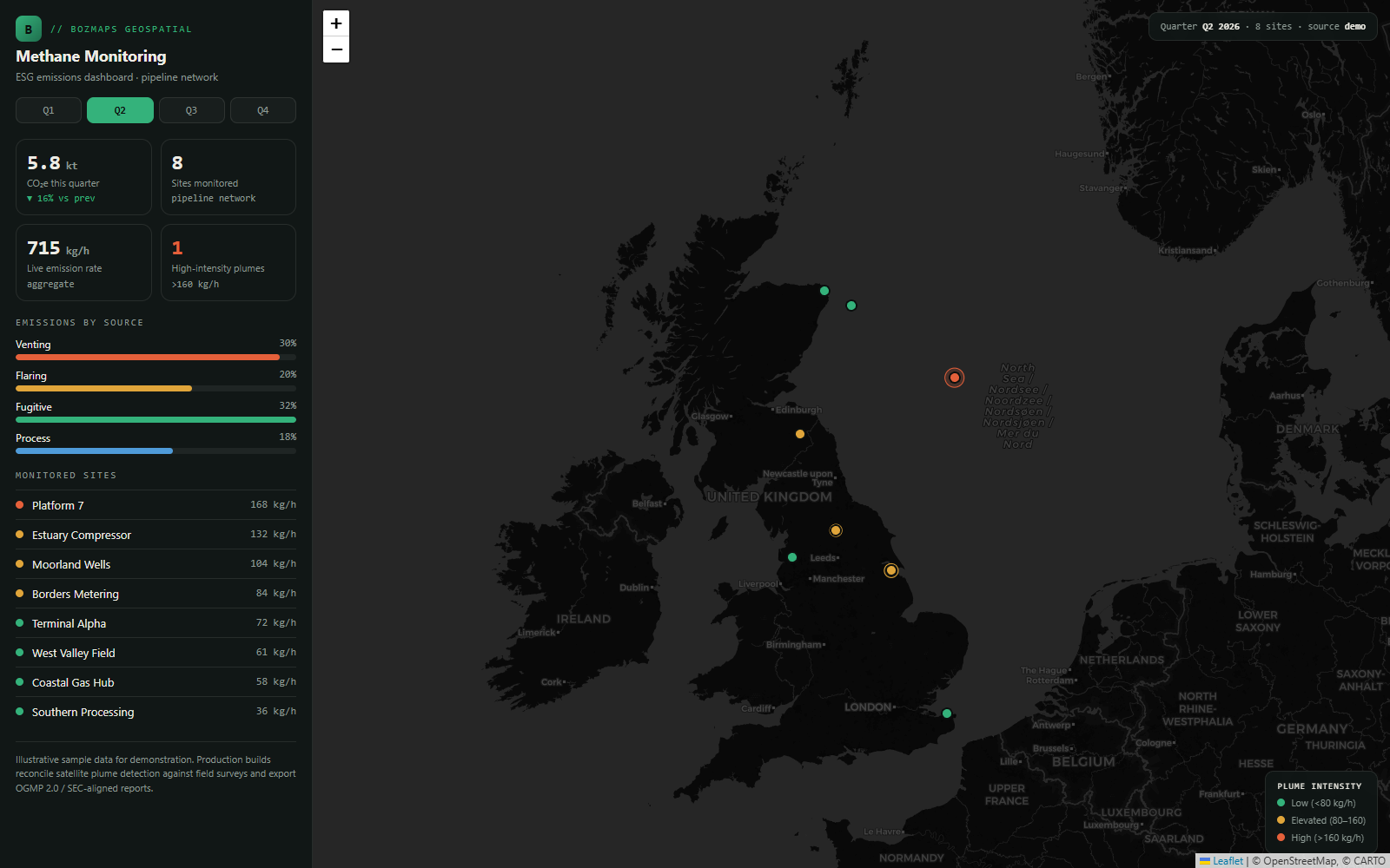
Real projects we've delivered in this category.
3D Digital Twins & City Models by industry
Sector-specific 3d digital twins & city models for our flagship UK industries.
- 3D Digital Twins & City Models for Trades
- 3D Digital Twins & City Models for Councils
- 3D Digital Twins & City Models for Property
3D Digital Twins & City Models across the UK
BozApps delivers 3d digital twins & city models in every major UK city. Pick your location for tailored detail.
- 3D Digital Twins & City Models in London
- 3D Digital Twins & City Models in Manchester
- 3D Digital Twins & City Models in Birmingham
- 3D Digital Twins & City Models in Edinburgh
- 3D Digital Twins & City Models in Leeds
- 3D Digital Twins & City Models in Bristol
- 3D Digital Twins & City Models in Glasgow
- 3D Digital Twins & City Models in Liverpool
- 3D Digital Twins & City Models in Newcastle
- 3D Digital Twins & City Models in Sheffield
- 3D Digital Twins & City Models in Nottingham
- 3D Digital Twins & City Models in Cardiff
- 3D Digital Twins & City Models in Belfast
- 3D Digital Twins & City Models in Cambridge
- 3D Digital Twins & City Models in Oxford
- 3D Digital Twins & City Models in Brighton
- 3D Digital Twins & City Models in Reading
- 3D Digital Twins & City Models in Southampton
- 3D Digital Twins & City Models in Leicester
- 3D Digital Twins & City Models in Coventry
- 3D Digital Twins & City Models in Essex
- 3D Digital Twins & City Models in Grays & Thurrock
- 3D Digital Twins & City Models in Slough
- 3D Digital Twins & City Models in Rochdale
Frequently asked questions
Can I see one before committing to anything?
Yes. Our Urban Digital Twin demo is live and public: real extruded OpenStreetMap buildings across London, Manchester, Leeds and Birmingham, height-coloured, with tilt, sun-direction and orbit controls. It runs on keyless open data with no login, so you can hand the link to a colleague and let them try it.
What data goes into a digital twin?
OpenStreetMap building footprints and heights, Ordnance Survey OpenData, LiDAR and terrain where real ground levels matter, and your own layers on top: allocations, boundaries, constraints, ownership, assets or survey data. We document every source and its limits so nobody presents a model without knowing what is behind it.
Is this the same as a BIM model?
No, and they answer different questions. BIM describes one building in construction detail. A digital twin of this kind covers a whole area at massing level, so it answers questions about context, height, density, views and shadow rather than about a single structure. We can bring a BIM export in as a layer where a specific scheme needs that detail.
Can it do sun and shadow studies?
Yes. Sun position by date and time, cast shadows across neighbouring buildings and open space, and height and massing colouring for reading scale quickly. These are the checks that come up first in design review and at committee.
Who can use it once it is built?
Anyone you give the link to. It runs in a browser on a laptop, a meeting-room screen, a tablet or a phone, with nothing to install and no per-seat licence. We build a public consultation view to WCAG 2.2 AA alongside the internal team view, so residents get a usable version too.
What does it cost and how long does it take?
Fixed price after a free 30-minute call, with a written proposal within five working days. Scope drives it: one neighbourhood on open data is a much smaller job than a whole borough with your own asset records. We scope the smallest useful version first, then extend it.
Ready to scope 3d digital twins & city models?
30-minute call. Written proposal within five working days. Fixed price wherever the scope allows.