
3D Digital Twin of Slough for Urban Design
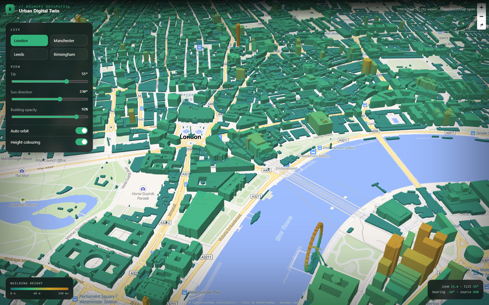
A digital twin is a working 3D model of a real place, in the browser, with your own data on top. We build them from OpenStreetMap and Ordnance Survey building footprints, LiDAR and terrain data, and your own site boundaries, allocations or asset records. Real extruded buildings, height-coloured massing, terrain, sun and shadow studies, and layers a committee or a resident can toggle without training. No desktop GIS licence, no login wall, no plugin: it opens on a laptop, a tablet or a phone.
Why Slough businesses pick BozApps for 3d digital twins & city models
Slough is one of the most intensively redeveloped places in the Thames Valley, with a town centre regeneration programme, heavy industrial and logistics estate, and Heathrow immediately to the south. That combination puts real pressure on planning and design teams to show height, massing and context clearly, to committees and to residents. We build the 3D city models and spatial dashboards that make those conversations easier to hold.
3D massing and context models built from OpenStreetMap, OS OpenData and LiDAR
Public consultation views to WCAG 2.2 AA alongside the internal team view
Local-authority experience through Bozmaps, used to public-sector procurement
Browser-based, so there is no GIS licence and no software for members to install
Good for Slough…
- Local authority planning and regeneration teams
- Urban design and masterplanning consultancies
- Developers presenting a scheme to a committee or the public
- Universities and research groups working on the built environment
What you'll get
- A browser-based 3D model of your town or city, no software to install
- Real buildings from OpenStreetMap, OS OpenData and LiDAR, with proper terrain
- Your own layers on top: sites, allocations, boundaries, constraints, assets
- Sun and shadow studies, height and massing colouring, tilt and orbit views
- Public-facing consultation mode alongside an internal team view
- WCAG 2.2 AA accessibility, hosted and maintained by us if you want it
Shipped examples
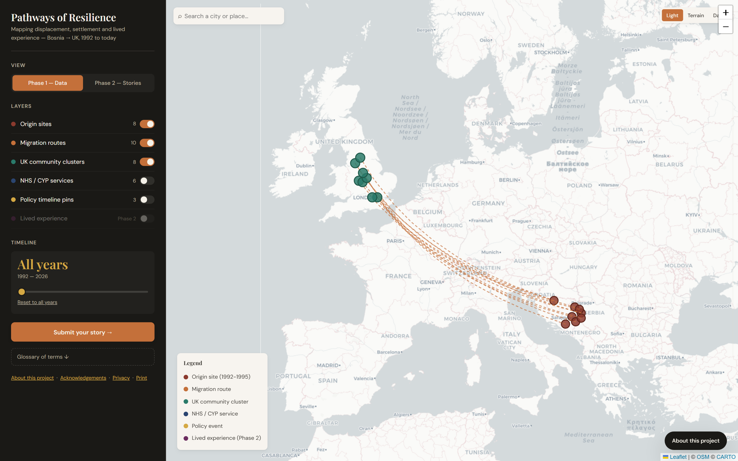
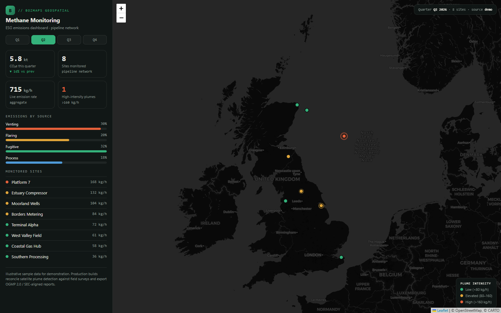
Real 3d digital twins & city modelsprojects we've delivered for UK clients.
Questions Slough businesses ask us
Straight answers, real numbers. Anything else, just ask on a free 30-minute call and you'll have a written proposal within five working days.
What is a 3D digital twin of Slough?
A working 3D model of the real place, in a web browser. Buildings at their true footprint and height, the terrain underneath, and then your own layers on top: site allocations, boundaries, constraints, assets, whatever the team works with. You can see a live one before you commit, on our Urban Digital Twin demo, which runs on open data with no login.
Where does the building data come from?
OpenStreetMap building footprints and heights, Ordnance Survey OpenData, and LiDAR or terrain data where the project needs real ground levels. We can also load your own survey, drone or CAD data if you hold it. Sources and their limits are documented, so nobody presents a model without knowing what is behind it.
Can we use it in a planning committee or a public consultation for Slough?
That is the usual reason people want one. It runs in a browser on a laptop, a meeting-room screen or a phone, with no software to install and no licence per seat. We build a public consultation view alongside the internal team view, to WCAG 2.2 AA, so residents can use it too.
Do we need GIS software or a specialist to run it?
No. That is the point of building it as a web tool rather than a desktop GIS project. Planners, designers and committee members open a link. If your team does use QGIS or ArcGIS, we can export to and import from it so the twin sits alongside what you already run.
What does a digital twin cost for a Slough scheme?
Fixed price after a free 30-minute call, with a written proposal within five working days. Scope is what decides it: one neighbourhood with open data is a very different job from a whole borough with your own asset records and sun studies. We scope the smallest useful version first.
Do you work with Berkshire councils and consultancies remotely?
Yes. We are a remote-first UK studio with local-authority experience through Bozmaps, used to public-sector procurement and accessibility requirements. You watch it being built on a private preview link with weekly demos, and we come in person when it helps.
Want the plain-English version of how an engagement works? Create a dashboard or map tool for your organisation
3D Digital Twins & City Models in other UK cities
- 3D Digital Twins & City Models in London
- 3D Digital Twins & City Models in Manchester
- 3D Digital Twins & City Models in Birmingham
- 3D Digital Twins & City Models in Edinburgh
- 3D Digital Twins & City Models in Leeds
- 3D Digital Twins & City Models in Bristol
- 3D Digital Twins & City Models in Glasgow
- 3D Digital Twins & City Models in Liverpool
- 3D Digital Twins & City Models in Newcastle
- 3D Digital Twins & City Models in Sheffield
- 3D Digital Twins & City Models in Nottingham
Other services in Slough
Based in Slough? Let's scope your 3d digital twins & city models project.
30-minute call. Written proposal within five working days. Fixed price wherever the scope allows.