Mobile App Development for Councils
We deliver production mobile apps end-to-end: architecture, design, native development, backend integration, paywall, push notifications and store release. Multi-tenant Supabase backends, Stripe subscriptions, offline-first sync, and a Play Console / App Store release pipeline that runs through GitHub Actions.
Why UK councils and local-authority teams pick BozApps for mobile apps
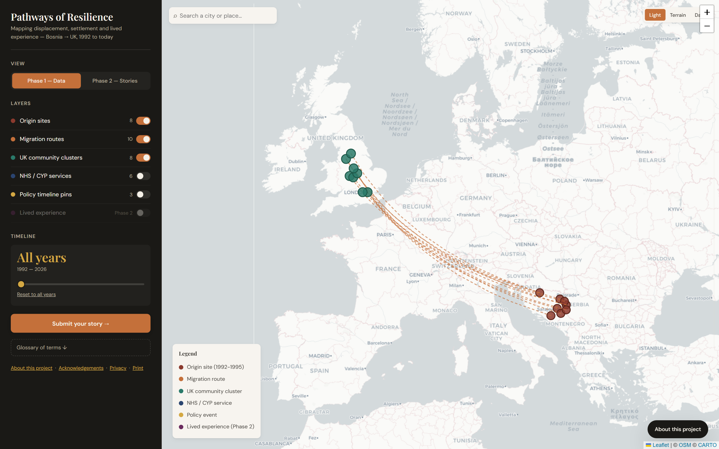
UK councils are sold expensive proprietary GIS platforms by vendors who don't understand local-authority procurement, accessibility regulations or public-sector budgets. BozApps (with parent firm Bozmaps) builds on open standards — MapLibre, OpenStreetMap, Ordnance Survey OpenData — with WCAG 2.2 AA baked in and a fixed-price commercial model that fits council budgeting.
Bozmaps geospatial heritage — open-source map stack, no proprietary lock-in
WCAG 2.2 AA accessibility built in from day one, audited at launch
Welsh-language parity available for Welsh authorities
Public-sector accessibility statement template included
Source code lives in your GitHub org — exit-clean if you ever in-house
Fixed-price discovery, fixed-price build, predictable monthly operations
Good for councils…
- Multi-tenant B2B platforms (trades, field services, fleet)
- Consumer transit and travel apps
- Membership and subscription products
- Mobile companions to existing web platforms
What you'll get
- Native Android (Kotlin + Compose) or cross-platform (Expo / React Native)
- Supabase Postgres backend with row-level security
- Stripe subscription billing and paywall gating
- Crashlytics + Sentry instrumentation from day one
- Play Store / App Store listing, signing, internal track to production
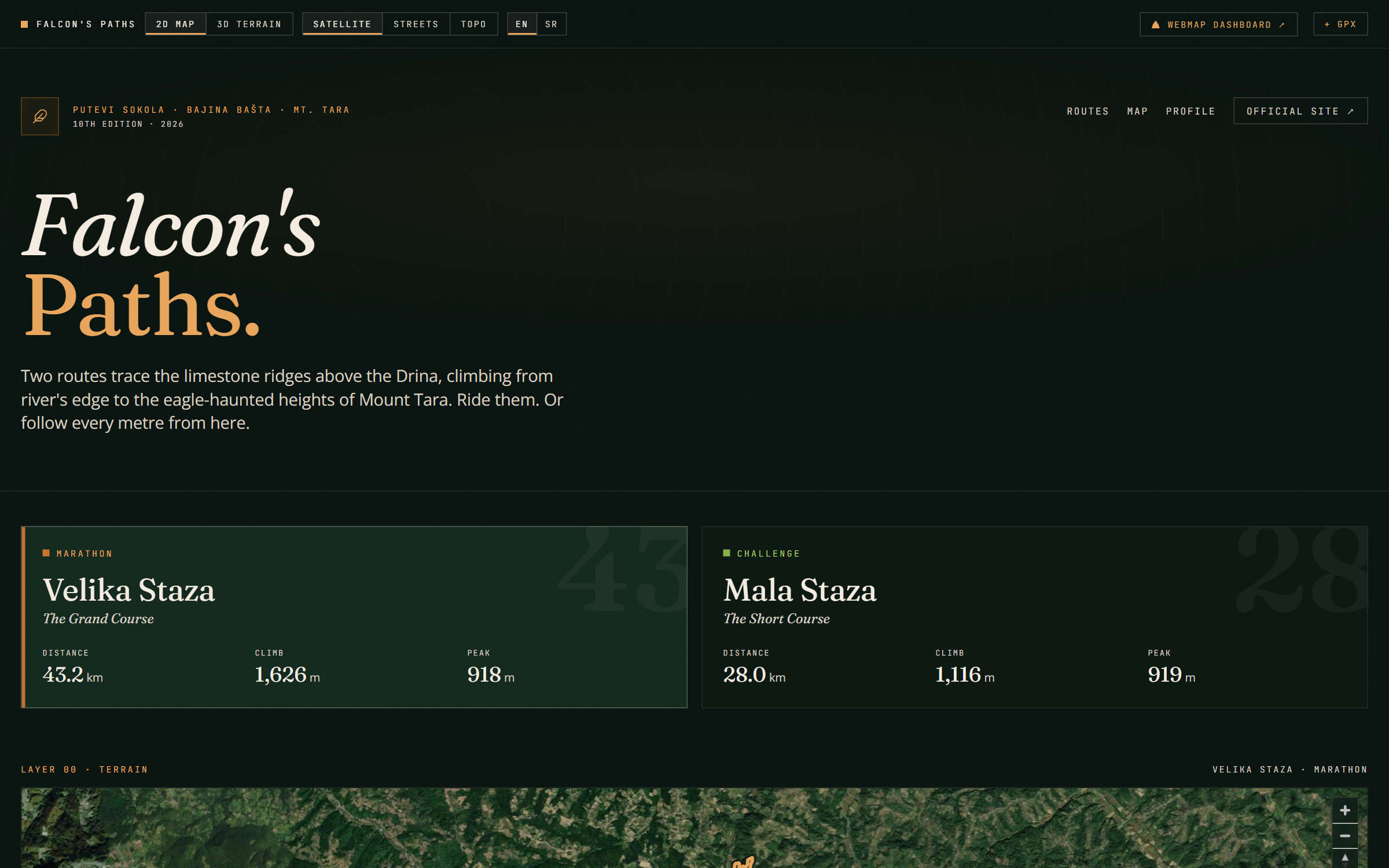
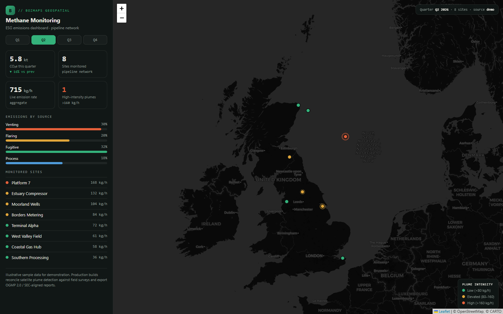
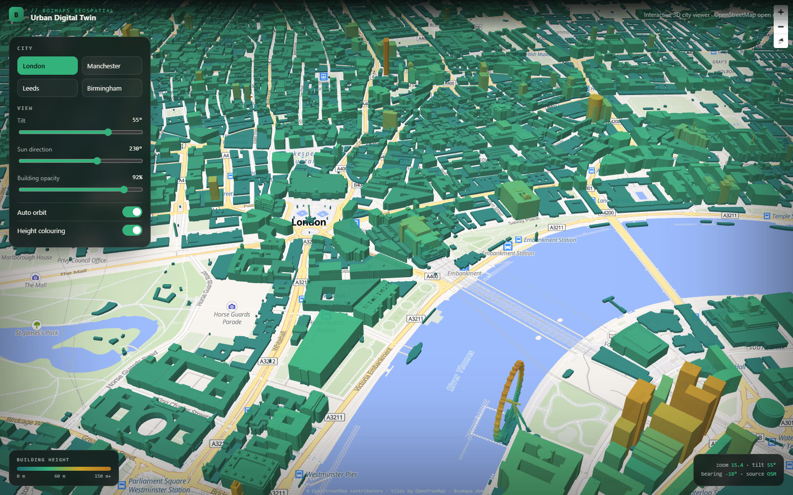
Councils case studies
Real projects we've delivered for uk councils and local-authority teams.
Other services for councils
- SaaS & Web Platforms for Councils
- Geospatial & GIS for Councils
- Websites & Marketing Sites for Councils
- Hosting & Long-term Operations for Councils
- AI Features & Automation for Councils
Mobile Apps for other UK industries
Building mobile apps for councils? Let's scope it.
30-minute call. Written proposal within five working days. Fixed price wherever the scope allows.