Local Government & Councils
UK councils are sold expensive proprietary GIS platforms by vendors who don't understand local-authority procurement, accessibility regulations or public-sector budgets. BozApps (with parent firm Bozmaps) builds on open standards — MapLibre, OpenStreetMap, Ordnance Survey OpenData — with WCAG 2.2 AA baked in and a fixed-price commercial model that fits council budgeting.
Why UK councils and local-authority teams pick BozApps
Bozmaps geospatial heritage — open-source map stack, no proprietary lock-in
WCAG 2.2 AA accessibility built in from day one, audited at launch
Welsh-language parity available for Welsh authorities
Public-sector accessibility statement template included
Source code lives in your GitHub org — exit-clean if you ever in-house
Fixed-price discovery, fixed-price build, predictable monthly operations
Services for Councils
Every BozApps service is available for uk councils and local-authority teams, scoped to the workflows, integrations and regulatory expectations of the sector.
Mobile Apps
Native Android and cross-platform iOS apps built with Kotlin, Jetpack Compose and React Native.
SaaS & Web Platforms
Full-stack SaaS platforms with authentication, billing, dashboards and admin tooling.
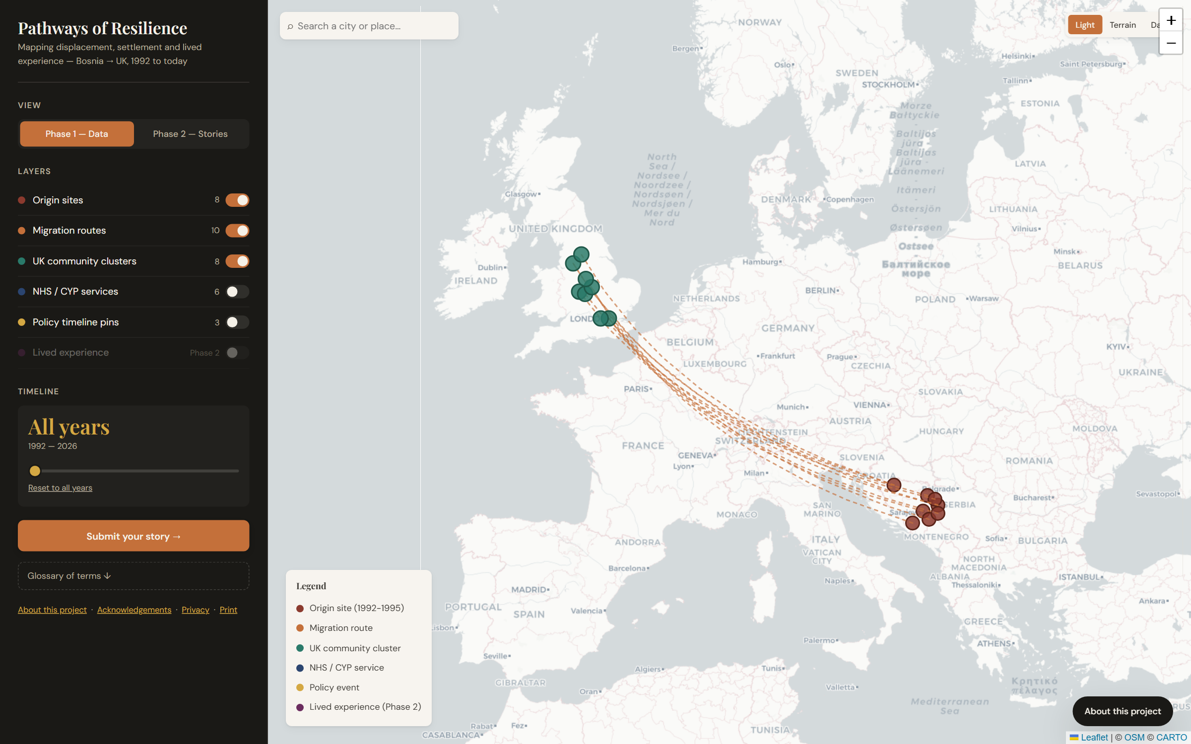
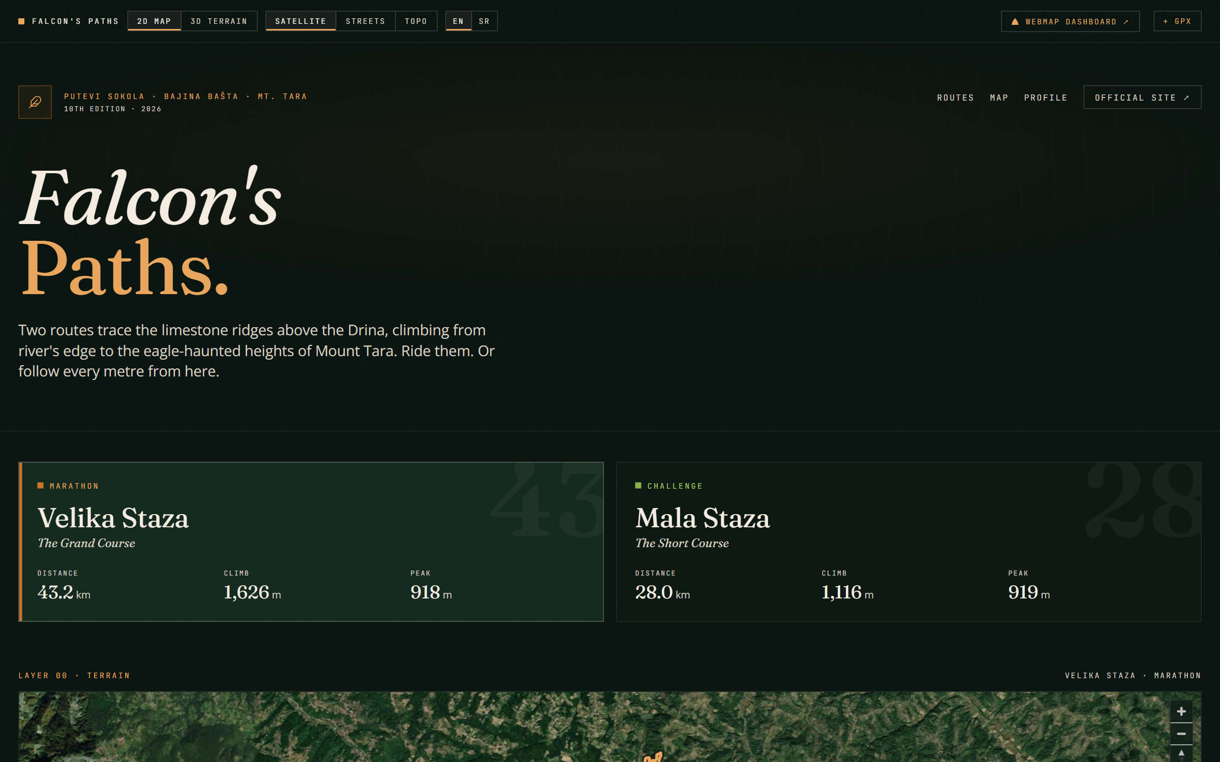
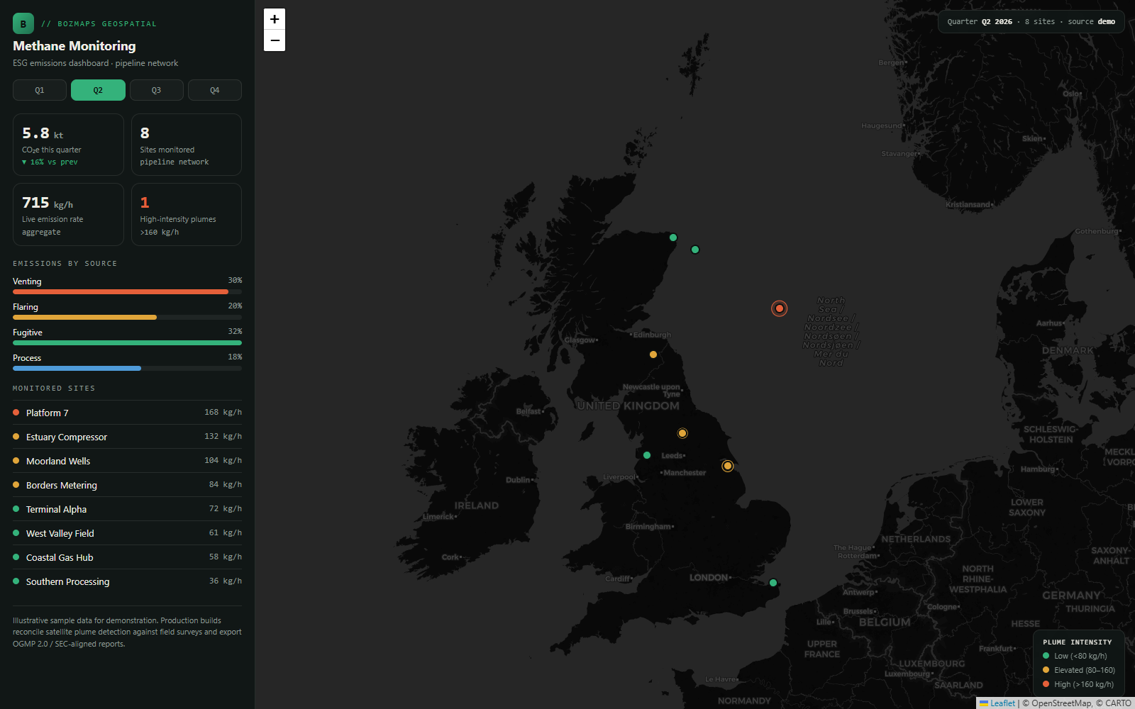
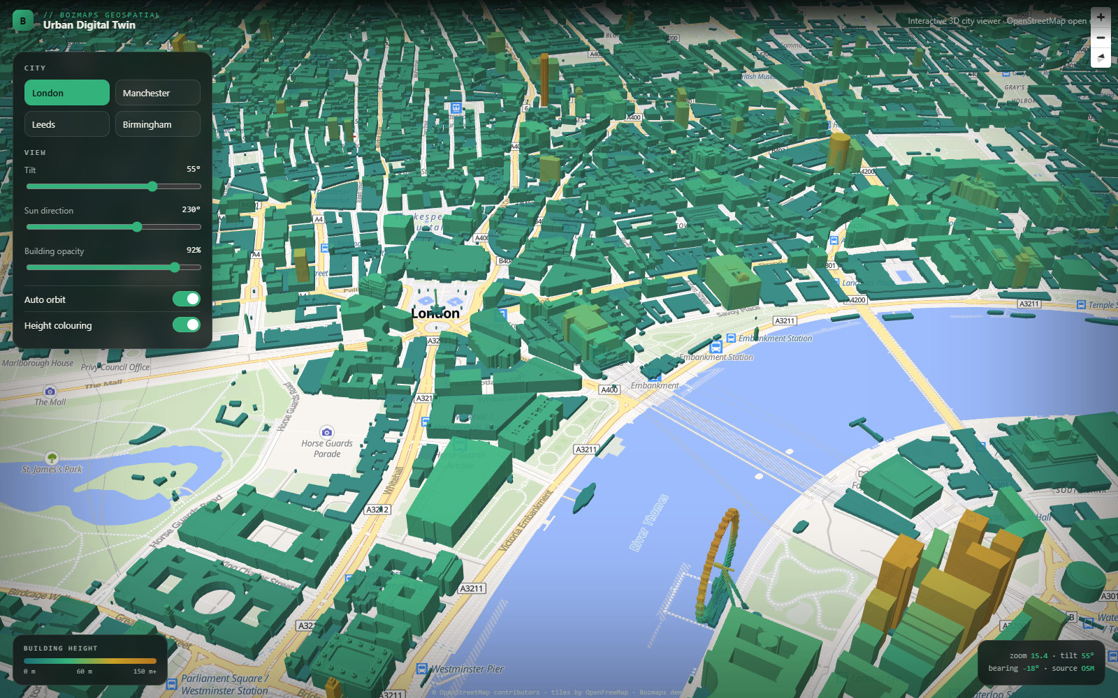
Geospatial & GIS
Interactive web maps, spatial dashboards and GIS analysis — built on open standards.
Websites & Marketing Sites
Conversion-focused marketing sites built on Next.js or static HTML — fast, indexable, accessible.
Hosting & Long-term Operations
We host, monitor, patch and improve the products we build — on a monthly retainer.
AI Features & Automation
Tuned LLM features and internal automation pipelines built with Claude, Gemini and n8n.
Shipped for Councils
Real projects we've delivered in this sector — open the case study for stack, outcomes and screenshots.
Frequently asked questions
Are you on any council procurement frameworks?
We work via direct procurement and through G-Cloud where applicable. We can quote on Crown Commercial Service frameworks on request, and we're used to the procurement timelines councils operate on.
Do you build the dashboard or also handle the underlying GIS data?
Both. Bozmaps handles geospatial data prep, CRS handling, OS / OSM integration, drone capture if required. BozApps wraps it in the dashboard, hosting, accessibility audit, monitoring.
Can residents access the dashboard, or is it officer-only?
Either. Permissions model supports officer-only views, public-facing views, and hybrid (officers see more). All public-facing surfaces meet WCAG 2.2 AA and the council accessibility regulations.
Other UK industries we work with
Building for councils? Let's talk.
30-minute call. Written proposal within five working days. Fixed price wherever the scope allows.