What we built
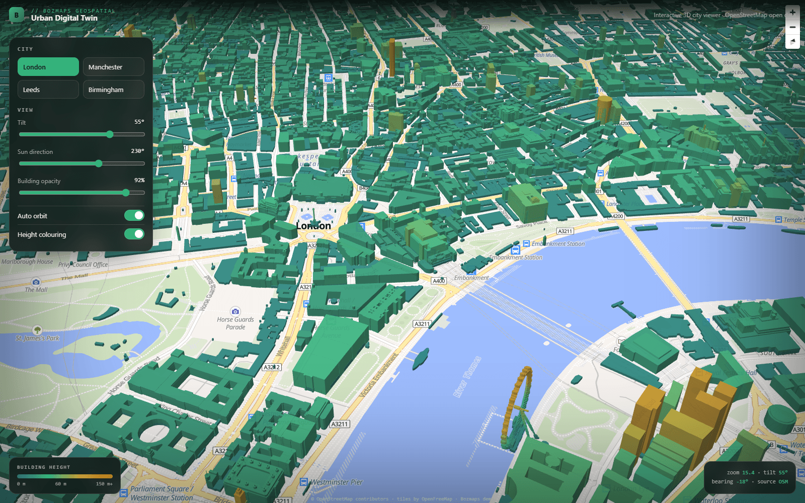
A 3D digital-twin viewer built from OpenStreetMap building data: real extruded buildings across London, Manchester, Leeds and Birmingham, height-coloured for instant scale reading, with tilt, sun-direction and auto-orbit controls. Built with MapLibre GL on keyless open data, the kind of planning-team tool that usually lives behind a login, here as an open, working demo.
Highlights
- Real extruded OpenStreetMap buildings across four UK cities
- Height-coloured massing with tilt, sun-direction and orbit controls
- MapLibre GL on keyless open data, live in the browser
About this engagement
Category: Map & Dashboard · Sector: Urban planning · Status: Demo · Year: 2026
See it live at urban-digital-twin-two.vercel.app.
How it was built
Like every project at BozApps, this was designed, built, deployed and (where the engagement included it) operated end-to-end by the same engineer. Production defaults — TypeScript strict, row-level security on the database, structured logging, accessibility audits, schema.org structured data, GDPR-compliant cookie handling — are included by default, not added at the end.
If you have a project that looks like this one and would like to scope a similar build, get in touch— we'll come back within a working day with a written opinion on scope, timeline and cost.

Want a similar build?
Tell us about your project. Reply within one working day, written proposal within five.